


|
|
|
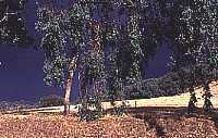
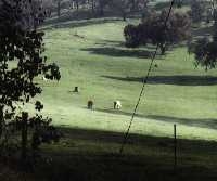
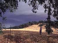
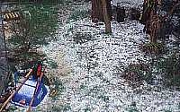
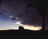
Photographs reproduced here
Photographs courtesy KathyW. |
The WeatherReal-time weather data(what the local weather is NOW!) Weather Forecasts and Reports(what the weather has been and might do tomorrow!)
Latest satellite images and weather charts:(The icon images shown below are indicators of type only, they do not indicate current conditions. Select the appropriate link to get the current information. If the time stamp (in UTC, please see note*) seems wrong, "reload" the page in case you are pulling the image from your local cache.) Infrared Satellite Images
Visible Light Satellite Images
Synoptic Charts
Rainfall
Sunshine
*"Note the image times are frequently in UTC, which is 10 hours behind Australian EST. So please add the time difference between UTC and your local time zone, to determine the "real" time of the image." Additional weather information and links:Long Range Forecasts and El Nino/La Nina/Southern Oscillation information
|
|
© 1999 |
Return to | top of this document | Albury-Wodonga.com | Albury Local Internet |
 Artificially coloured infrared images from
 Monochrome (black and white)
  Monochrome (black and white)
  Synoptic charts from the BoM (Bureau of Meterology) for the
  Monthly to date rainfall charts for